Unveiling the Persian Gulf: A Revolutionary Geographical Atlas Set to Transform Our Understanding
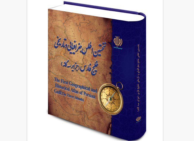
In anticipation of the upcoming Persian Gulf National Day, a new geographical atlas dedicated to this vital waterway and three of its islands—Musa, Greater Tunb, and Lesser Tunb—will be unveiled on April 30. This atlas is a significant resource that highlights the historical and cultural importance of the Persian Gulf.
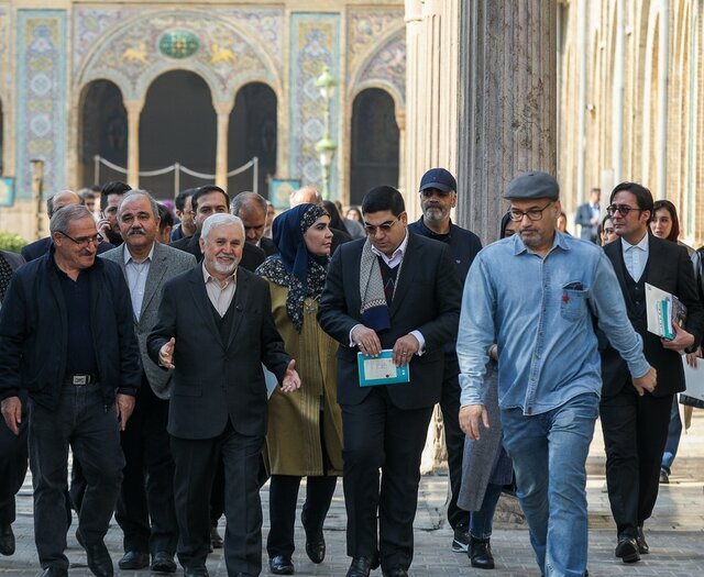
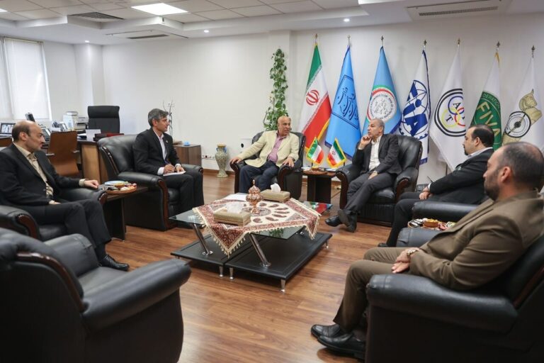
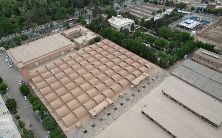
According to Hamidreza Soleymani, CEO of the Daffineh museum group, this atlas is not just any geographical collection; it features 27 historical maps meticulously gathered from the group’s extensive archives. These maps were crafted by renowned European cartographers over several centuries, providing a rare insight into historical perspectives of the Persian Gulf region.
“The oldest map in the collection dates back to the 17th century,” Soleymani noted. This time span offers a unique opportunity to explore the evolution of geographical knowledge and representation of the Persian Gulf.
Moreover, Soleymani emphasized that the atlas will be available in both Persian and English, making it accessible to a wider audience. He stated that beyond its artistic and historical value, the atlas possesses significant scientific and research relevance.
“These maps serve as credible visual documents reflecting European views of the Persian Gulf across different periods,” he explained. “They offer valuable insights into the region’s place names, geographic features, and historical trade and political interactions.”
Soleymani elaborated on three key aspects that highlight the atlas’s significance:
- Historical Documentation: The maps provide an unparalleled record of the region’s geographic and political developments over time.
- Preservation of Identity: The publication reinforces the historic name and identity of the Persian Gulf, demonstrating its consistent recognition in renowned global maps through the centuries.
- Public Awareness: By making these historical documents accessible, the atlas aims to deepen public understanding of the Persian Gulf’s historical and cultural importance.
This atlas is not only a treasure trove for researchers but also serves as a reliable reference for anyone looking to explore the rich history and geography of the Persian Gulf.
Persian Gulf National Day, which is celebrated annually on the 10th day of Ordibehesht in the Iranian calendar (April 30 this year), is a significant occasion that commemorates the region’s history, name, and importance. This day marks the historic victory in 1622, when the combined forces of the Safavid Empire and the British East India Company expelled Portuguese forces from the strategic Strait of Hormuz.
The Persian Gulf, an extension of the Indian Ocean, is situated between Iran and the Arabian Peninsula in Western Asia. This region has played a crucial role in trade and cultural exchanges throughout history, making the unveiling of the atlas an event of great relevance.
The new geographical atlas is expected to serve as an essential tool for educational institutions, researchers, and history enthusiasts alike. By documenting the rich cartographic history of the Persian Gulf, it aims to foster a deeper appreciation of this vital waterway and its surrounding areas.
As we approach Persian Gulf National Day, the unveiling of this atlas will not only celebrate the historical significance of the region but also reaffirm its cultural heritage and identity. The Daffineh museum group’s efforts in curating and publishing this collection exemplify a commitment to preserving the rich history of the Persian Gulf for future generations.
The importance of the Persian Gulf cannot be overstated, and this atlas stands as a testament to its enduring legacy. By making historical maps accessible, the Daffineh museum group is playing a pivotal role in educating the public and promoting awareness about the Persian Gulf’s significance in world history.
