Discover the Rich Heritage of the Persian Gulf: Stunning Atlas Set for Unveiling!
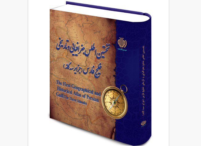
In anticipation of the upcoming Persian Gulf National Day, an exceptional new atlas dedicated to the strategic Persian Gulf and its three islands—Musa, Greater Tunb, and Lesser Tunb—will be launched on April 30. This atlas is a remarkable geographical compilation that showcases 27 historical maps, curated from the extensive archives of the Daffineh museum group.
Hamidreza Soleymani, the CEO of the Daffineh museum group, shared insights about this unique collection, emphasizing its significance in understanding the historical perspectives of the Persian Gulf region. “The maps, created by prominent European cartographers over several centuries, provide a rare glimpse into historical perspectives of the Persian Gulf region. The oldest map in the collection dates back to the 17th century,” Soleymani elaborated.
This newly published atlas will be available in both Persian and English, highlighting its broad accessibility. Soleymani underlined that the atlas is not just valuable for its artistic and historical significance but also holds considerable scientific and research importance. He stated, “These maps serve as credible visual documents reflecting European views of the Persian Gulf across different periods, offering valuable insights into the region’s place names, geographic features, and historical trade and political interactions.”
During his remarks, Soleymani identified three primary aspects of the atlas’s significance:
- Historical Documentation: The maps provide an unparalleled record of the region’s geographic and political developments over time.
- Preservation of Identity: The publication reinforces the historic name and identity of the Persian Gulf, demonstrating its consistent recognition in renowned global maps through the centuries.
- Public Awareness: By making these historical documents accessible, the atlas aims to deepen public understanding of the Persian Gulf’s historical and cultural importance.
According to Soleymani, the atlas serves as a rich resource for researchers and a reliable reference for anyone seeking to explore the history and geography of the Persian Gulf. This initiative is particularly timely as it coincides with Persian Gulf National Day, observed annually on the 10th day of Ordibehesht in the Iranian calendar, which falls on April 30 this year.
Pertinently, this day commemorates a significant moment in history—the 1622 victory when the combined forces of the Safavid Empire and the British East India Company successfully expelled Portuguese forces from the strategic Strait of Hormuz. This historical event underscores the Persian Gulf’s enduring geopolitical significance.
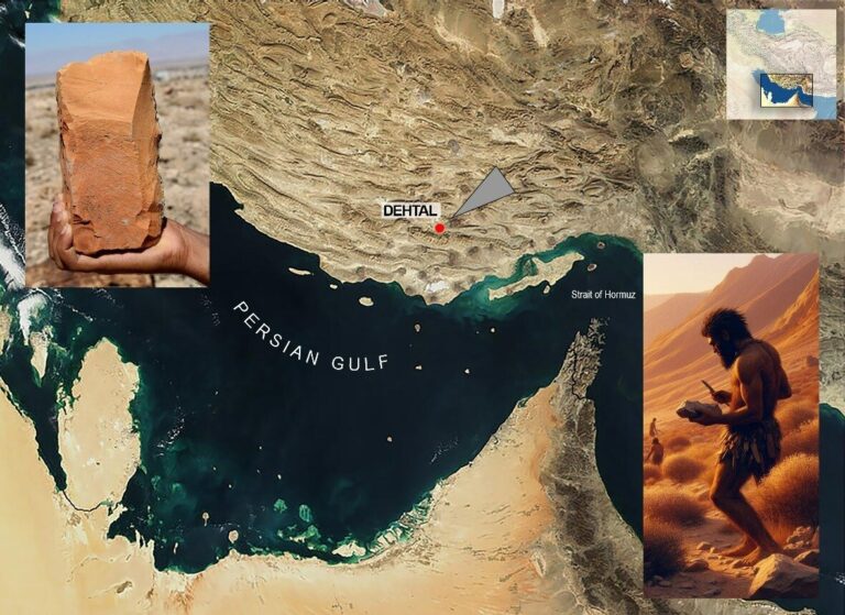
The Persian Gulf itself, an extension of the Indian Ocean, is strategically located between Iran and the Arabian Peninsula in Western Asia. It has long been a vital waterway for global trade and cultural exchange, making the unveiling of this atlas particularly relevant.
In conclusion, the launch of this atlas on Persian Gulf National Day not only celebrates the rich history and identity of the region but also aims to educate the public and promote a deeper appreciation for its cultural and historical significance. Through this initiative, the Daffineh museum group hopes to foster a renewed interest in the Persian Gulf’s legacy and its pivotal role in shaping regional and global history.
As we approach this important occasion, the unveiling of the atlas promises to be a significant event, marking the dedication to preserving and celebrating the Persian Gulf’s heritage.
