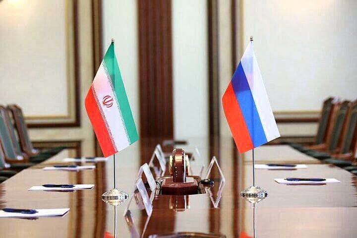
Tehran and Moscow Forge Alliance: New MOU Signed for Strategic Defense Initiative Development
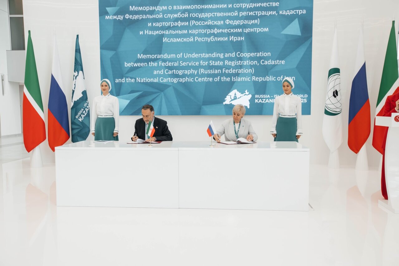
In a significant development for geospatial technology collaboration, the National Cartographic Center of Iran has partnered with the Russian Federal Service for State Registration, Cadastre, and Cartography. This partnership aims to enhance spatial data infrastructure (SDI) through a recently signed memorandum of understanding (MOU). This agreement was formalized during the 16th International Economic Forum ‘Russia – Islamic World: Kazan Forum’, according to reports from ISNA.
The primary objectives of the MOU are to:
- Strengthen cooperation between the National Cartographic Center of Iran and the Russian Federal Service.
- Facilitate the sharing of advanced mapping technologies.
- Develop robust spatial data infrastructures.
- Implement collaborative geomatics projects.
In September, the director general of the National Cartographic Center of Iran proposed the establishment of a BRICS spatial data infrastructure (SDI) during the third meeting of the BRICS working group focused on geospatial technologies and their applications. This meeting took place in Moscow on September 16 and 17. The agenda was geared toward organizing a platform that would pave the way for the advancement of geospatial technologies and foster collaboration among member states.
During the opening ceremony, Ali Javidaneh emphasized the importance of maps and spatial data, stating that they are crucial for the sustainable development of communities. These tools provide essential information that supports informed decision-making, effective planning, and economic growth. His proposals, particularly regarding the BRICS SDI, garnered significant attention from the attendees, leading to a consensus to begin laying the groundwork for its implementation.
Furthermore, on the second day of the meeting, the memorandum of understanding concerning the spatial data infrastructure was officially finalized, with active involvement from Iranian representatives. This step marks a substantial advancement in international cooperation in geospatial technology.
Geospatial technology encompasses a variety of modern tools that contribute to the mapping and analysis of both the Earth and human societies. These technologies play an essential role in our interconnected world, offering valuable assistance to:
- Individuals
- Governments
- Various economic sectors
The integration of spatial technologies with innovations such as artificial intelligence, deep learning, and big data analytics leads to beneficial outcomes across numerous applications, including:
- Communications
- Navigation
- Transportation
- Cadaster
- Cartography
Examples of geospatial technologies include:
- Remote Sensing: Collects data from satellites or aircraft to monitor environmental changes.
- Geographic Information Systems (GIS): Analyzes and visualizes spatial data.
- Geographic Positioning Systems (GPS): Provides location services and navigation support.
These geospatial technologies have diverse applications, ranging from military and environmental uses to everyday activities, demonstrating their versatility and importance in modern society.
As nations continue to collaborate on geospatial infrastructure, the potential to enhance decision-making processes and contribute to sustainable development becomes increasingly evident. The partnership between Iran and Russia signifies a step forward in harnessing the power of spatial data and technology for the benefit of both countries and beyond.
In summary, the signing of the MOU between the National Cartographic Center of Iran and the Russian Federal Service for State Registration, Cadastre, and Cartography not only strengthens bilateral ties but also lays a foundation for the advancement of spatial data infrastructure within the BRICS framework. As geospatial technologies evolve, their impact on global communication, planning, and economic strategies will undoubtedly expand, ushering in a new era of data-driven decision-making.
